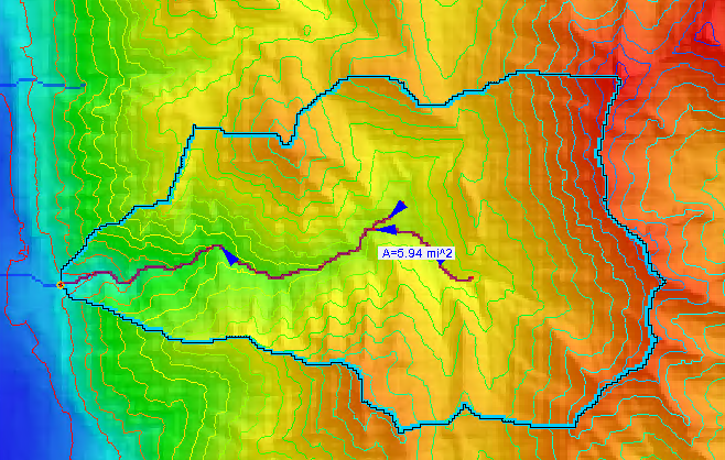
Tips for Using the Hydrologic Modeling Wizard
By aquaveo on October 28, 2020WMS makes creating hydrologic models easier by providing the Hydrologic Modeling Wizard. This tool steps you through the process of developing a hydrologic model. Each step completes one of the elements needed for a complete hydrologic model. To make using this tool easier and more productive, here are a couple tips for using the Hydrologic Modeling Wizard in WMS.
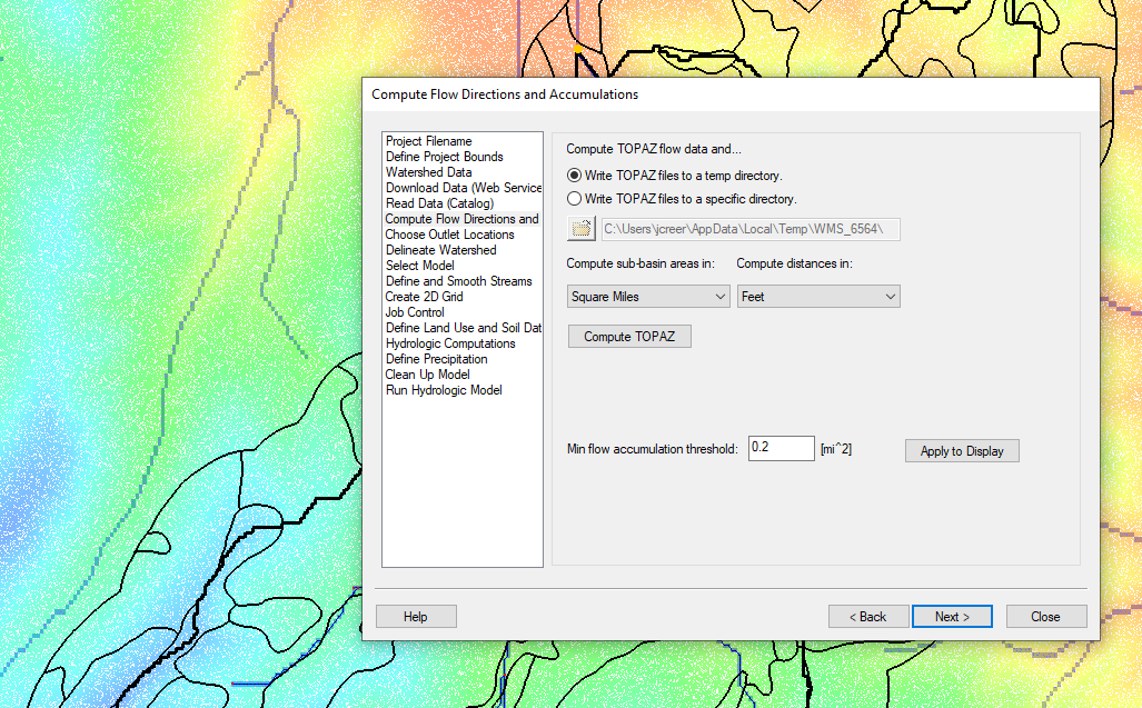
The first tip is that the Hydrologic Modeling Wizard is modular in nature. This means the wizard does not need to be closed in order to continue working in the WMS interface, unlike many other windows and dialogues in WMS. The wizard can be put to the side of your screen to let you work with other tools in WMS. Often this is necessary to adjust arcs in the Graphics Window or to import additional data. Once you are done with what you need to do, you can return to the Hydrologic Modeling Wizard.
It should also be noted that the Hydrologic Modeling Wizard keeps track of changes as you work in it. So if you should happen to close it, you can reopen it and get back to where you left off. However, you should make certain to save your WMS project before closing WMS in order to save changes made in the wizard to your WMS project.
Another tip is that you do not need to complete all of the steps in order. Some steps can be completed out of order. For example you may want to set the model you are using before completing earlier steps. Or, more often, you may have completed earlier steps outside of the wizard, letting you skip to later steps. That said, there are some steps that will not work unless a previous step has been completed.
Also note that you can always go back to earlier steps. Note that when doing this some steps that follow may have to be completed again.
The Hydrologic Modeling Wizard is a powerful tool to help you create hydrologic models faster. The tips presented here can also be applied to the other modeling wizards in WMS. Try out the Hydrologic Modeling Wizard in WMS today!