Aquaveo & Water Resources Engineering News

Understanding SRH-2D Post-Processing

Do you want to know more about what happens when SMS completes post-processing for SRH-2D? When running SRH-2D, it helps to understand what exactly is happening during the post-processing phase of the SMS model run. This post will review how post-processing uses interpolation as it goes through SRH-2D.

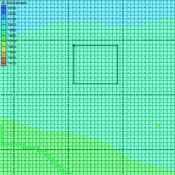
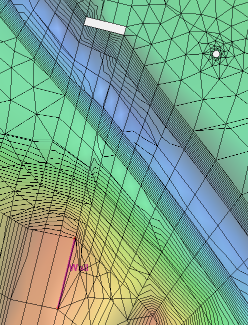
To understand how post-processing fits into the SRH-2D process, first we need to look at what comes before it. When creating an SRH-2D model in SMS, the data is assigned as nodal data. This means that the boundary conditions, materials and other data is assigned to the nodes of the mesh. SRH-2D requires that the data be assigned to the center of the mesh elements (the centroid).

To allow the nodal data to be used by SRH-2D, SMS uses a pre-processing step that utilizes linear interpolation to interpolate the data that has been modelled in SMS into centroidal data for SRH-2D to use. After SHR-2D has finished processing the data, it creates results that use centroidal data. This is where the post-processor comes in.

The post-processor for SRH-2D takes the SRH-2D results and interpolates the data from centroidal data and converts it into nodal data. This allows SMS to import and display the solution data.

Post-processing for SRH-2D

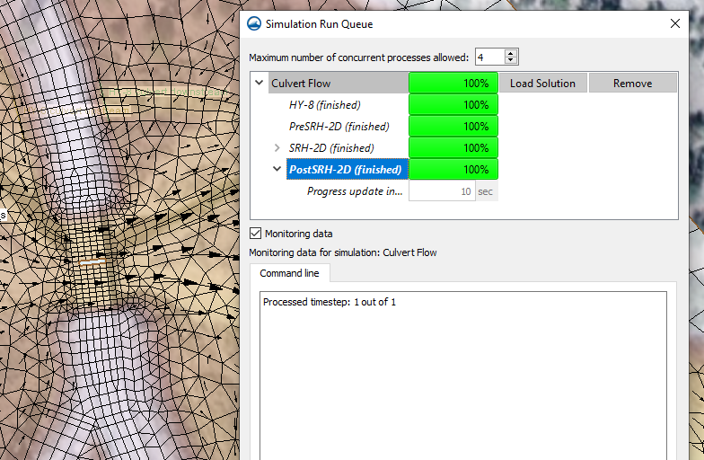
If the post-processor fails in its attempt, this usually means the centroidal data generated from SRH-2D is not valid. In this case, it could be possible that the model failed to converge even if SRH-2D managed to completely finish its model run. It could also be possible that SRH-2D was made to run an invalid model that resulted in empty solution sets.

For more information on how to use SRH-2D with SMS, see the XMS Wiki article on SRH-2D in SMS. Future versions of SMS may make use of centroidal data without the need to interpolate data.

Now that you understand a little more about how SMS handles post-processing, try out SRH-2D in SMS 13.1 today!

Blog tags: 

Using the Drawing Grid in GMS

Have you needed to create precise drawing on your map coverage for your groundwater modeling project in GMS? Using the Drawing Grid display options can help with this. This post will review what these are and how they can be used in your GMS project.

When the drawing grid is turned on, you will have a grid which can be used to reference and measure positions in the project.

The Drawing Grid in the Graphics Window

To access the GMS Drawing Grid display options:

  1. Open up the Display Options dialog, either by going to the Display | Display Options command or clicking on the Display Options macro.
  2. Once the dialog has opened up, select Drawing Grid from the list on the left, and the dialog will populate with the relevant options.

The following is a list of the GMS Drawing Grid display options and what they do.

This Spacing option allows the user to specify by how many units each grid point is separated. This will determine how dense or scattered out the points are, so it is useful to set a value that won’t either be too cluttered or too open.

When the Snap option is selected, all new (not previously existing) vertices, nodes, points, etc., will snap to the nearest grid point when they are being created, or will interactively snap to grid points if they are being dragged. When this is not selected, the drawn grid will have no impact on where they will be placed. Turning this on can be useful when constructing certain features that are meant to conform to the more rigid structure of a grid.

When the Display Grid Lines option is selected, grid lines will be displayed, using the Line spacing increment to determine how many grid points are passed over before another line is drawn. There are also two buttons to the right of this option which will allow the user to customize the look of the lines. Using grid lines can help complement grid points by giving more of a structure to the drawing grid rather than it being just a set of points, especially when the lines are separated at a good distance.

When the Display Grid Points option is selected, grid points will be displayed similar to how the grid lines are displayed, except using the Point spacing increment instead of the Line spacing increment. Grid points not displayed are still functioning as intended within GMS, they just aren’t visible. There are also two buttons to the right of this option which will allow the user to customize the look of the points. Using grid points can help quantify in the Graphics Window where everything is placed and give it orientation, especially when the points are separated at a good distance.

Try experimenting with Drawing Grid display options in GMS 10.5 today!

Blog tags: 

Changing the Display Order in WMS

Have you been wanting to change the order that objects are displayed in the Graphics Window for your watershed projects in WMS? Within WMS, there is an option that can allow users to play around with this. This post will review how to utilize the Display Order functionality found in the Display Options dialog within WMS.

To locate the Display Order options in WMS, open up the Display Options dialog, either by clicking the Display Options macro or going to the Display | Display Options... command. Display Order should then be visible as one of the options on the left. There will be a checkbox for if Display Order should be activated or not. By default, this should be turned on.

As might be expected, turning the "Use Display Order" option on will cause objects to be displayed in the order laid out in the Display Order List. When the "Use Display Order" option is turned off, objects will be displayed in front of others based on which have XYZ coordinates closer to the user's eye rather than further. Depending on the scenario, it may be more visually helpful to have the option turned on or off.

For instance, in plan view, a delineated watershed may look better with display order turned on because when it is turned off, objects may look cluttered and bleed through each other. But for another example, in an oblique view, a delineated watershed may look better with display order turned off because when it is turned on, contours may look cluttered because objects are displaying primarily using display order instead of closer ones displaying in front of further ones.

When the "Use Display Order" option is turned on, the Display Order List will be active. The following options can be used to modify the order:

  • Move Up: Moves the selected item one spot higher on the list.
  • Move Down: Moves the selected item one spot lower on the list.
  • Move To Top: Moves the selected item to the very top of the list.
  • Move To Bottom: Moves the selected item to the very bottom of the list.
The Display Order options in WMS

When an item has been moved as far high or low as it can go, any attempt to move it further higher or lower will result in a warning message that you have selected the top or bottom of the list, and to select an item below or above the current selection.

Try out experimenting with display order in WMS 11.1 today!

Blog tags: 

Understanding SRH-2D No Flow Boundaries

Do you want to understand more about how SRH-2D uses no flow boundaries? Occasionally, you can encounter various challenges regarding no flow boundaries. This post will review how no flow boundaries interact with SRH-2D in order to avoid potential issues with your SRH-2D model.

Examples of no flow boundaries in SRH-2D

SRH-2D includes different types of no flow boundaries such as:

  • Boundary condition arcs assigned to be a "wall".
  • The elements touching a void in a mesh.
  • The boundaries of a mesh that are not assigned to be inflow, outflow, etc.

Make certain to review all of your no flow boundaries. In particular, if you used a shapefile or another coverage to create your boundary condition coverage review all of the arcs on the coverage. In SMS, the default SRH-2D boundary condition is a "wall", so any arcs on the boundary condition coverage that are not meant to be no flow arcs should be changed or removed. A wall arc will snap to the nearest mesh boundary or void boundary. A wall arc should not be used to define an internal no flow area.

An important aspect to understand for no flow boundaries is that for every element they touch, SRH-2D is essentially being told that water can't flow past the boundary. This changes how SRH-2D computes the flow of water through the model. Large elements that are part of no flow boundaries can impact the model flow more than desired, because the smallest unit SRH-2D can process is a single element. SRH-2D is not designed to assign multiple flow values to a single element.

With this restriction on flow for single elements in mind, large elements can have a disproportionate effect on the model if left in key areas. Therefore, in most cases it is important to make sure that elements around key areas of the model should be more refined. Larger elements should be left in less important areas where they will have less impact.

Now that you understand a little more about no flow boundaries, try out SRH-2D in SMS 13.1 today!

Blog tags: 

Using the Equal Color Segment Height Legend Option

Have you wanted the legend to better represent the scale of your contours in your GMS projects, especially if your intervals are logarithmic? Having a well-configured legend can be very helpful in interpreting the contours of your project in the Graphics Window. And a logarithmic scale for your legend can be useful when you have wide-ranging values in your model that you want to represent in a compact and nuanced way. This post will review how to modify your contour legend options and how your legend is scaled.

To access the GMS Contour Legend Options:

  1. First, contour options can be accessed either through relevant parts of the Display Options dialog (accessed from the Display Options macro) or through clicking on the Contour Options macro directly.
  2. Look to the bottom-left of the dialog and turn on the Legend checkbox.
  3. Click the Options button to bring up the Contour Legend Options dialog where all the contour legend options will be. This post won’t go into most of these options, but they include such options as setting the legend’s height and width, setting where in the graphics window it will be situated, and customizing its font.
Countour legend using an equal height option

The focus of this post will be the option to turn on Equal Color Segment Height. If the Contour Interval has been set to Number or Specified Interval, this option might not seem so useful, as the values for the contours should already be equally separated. But if the Contour Interval has been set to Specified Values, the Populate Values button will be clickable. This brings up the Value Population Method dialog, where different methods can be used to populate the values of the contours, including a Log Scale Method that will create a logarithmic rather than linear scale to the contours and their legend.

Normally, when a logarithmic scale is used for the contours, the legend will be as well, leading to a lot of the space on the legend being taken up by the higher values and a small amount of space being taken up by the more crowded lower values. Turning on Equal color segment height in the Contour Legend Options dialog can correct this, if that is how you want the legend to be displayed. This option will make the legend display logarithmically, with each logarithmic value displaying equally distant from each other. This means that the legend is no longer a linear gradient, but it better reflects the spread of a logarithmic scale when one is used.

Try experimenting with logarithmic contour intervals and other contour options in GMS 10.5 today!

Blog tags: