We use cookies to make your experience better. To comply with the new e-Privacy directive, we need to ask for your consent to set the cookies. Learn more.

Interpolating Localized Elevation Values
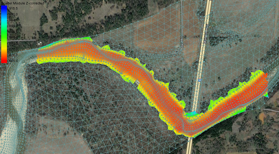
Do you have a Surface-water Modeling System (SMS) project where you need to adjust the elevation values for a small area of your mesh? Some projects require updates to the localized areas of the mesh elevation. It may be that you’ve received updated elevation data for part of the project area, or you discovered a flaw in the elevation data on the mesh. You could manually update the elevation on each node of the mesh, but this could be rather time-consuming. Using the Scatter Module in SMS, you can incorporate the new elevation values into your mesh.
Ideally, you will be able to obtain correct elevation data that covers the entire mesh domain, which you could simply interpolate over to the mesh. But when you only have updated elevation data for a localized area, you can use this workflow to update the elevation data.
- Right-click on the desired mesh and select Convert > Mesh → 2D Scatter.
- Name the new scatter set whatever you'd like (or keep the default) and keep all other settings the same.
- Choose Scatter | Merge Sets to open the Merge Scatter Sets dialog.
- Check the box for each scatter set that you would like to merge.
- Make your newer data higher on the list so that it will be given priority. Do so by selecting a scatter set and using the Move up or Move down buttons.
- Choose Delete lower priority scatter points and check the box for Maintain triangulation.
- If desired, name the new scatter set something other than the default.
This will create a new scatter set that overwrites the old data with the new data.
From here, which course you take will depend on whether you need just the z values to change, or if you need the mesh geometry to change as well.
To only change the elevation values in the existing mesh, do the following:
- Right-click on the new scatter set and select Interpolate to....
- Check the boxes for the scatter set z or elevation dataset as well as the box for Map Z.
- Choose the starting mesh from the list on the right.
To create a new mesh with the new elevation values, do this:
- Right-click on the merged scatter set and select Convert > | Scatter → 2D Mesh.
- Name the new mesh whatever you like and press OK.
- Edit the new mesh as needed.
The Scatter Module in SMS gives you a variety of options for fixing and adjusting elevation data. Try out the Scatter Module in SMS today!
January 31, 2023
|
View: 498
|
Categories: SMS
|
By: <a class="mp-info" href="https://aquaveo.com/blog/author/admin">Aquaveo Staff</a>
About the Author

Performing a Silent Install of XMS (Passwords & Hardware Locks)
October 10, 2018
Tips for Finding Information on the XMS Wiki
September 25, 2019
Aquaveo 2024 in Review
December 30, 2024
How to Fix MODFLOW General Head Boundary Errors Using GMS
February 18, 2025
Help with Flow Direction and Accumulation
December 17, 2024
Connecting UGrid Points with Arcs
May 6, 2025
Simplifying Nested Grids with the Spectral Coverage
April 29, 2025
Converting Solids to Scatter Sets in GMS
April 22, 2025
Simplifying Watershed Modeling with Rho8 Tools
April 15, 2025
Enhanced Structure Options for CMS-Flow
April 8, 2025