We use cookies to make your experience better. To comply with the new e-Privacy directive, we need to ask for your consent to set the cookies. Learn more.
Downloading NLCD Data
One of the crucial elements of any project is having data. WMS makes use of a large number of data sources. One type of data that we find frequently used is National Land Cover Database (NLCD) data. NLCD is provided by the MRLC (Multi-Resolution Land Characteristics Consortium) as a large collection of raster datasets.
Here are three ways this data can be imported into WMS.
Direct Download
NLCD data can be downloaded from the MRLC site. Much of the other data available on the MRLC site can also be used with WMS.
Downloaded NLCD data can be opened in WMS by selecting the Open macro, browsing to the folder containing the downloaded data, and selecting the desired raster. WMS should be able to recognize the data file and bring it into your project.
Using the Modeling Wizard
NLCD data can also be downloaded while using the Hydrologic Modeling Wizard or the HY-8 Modeling Wizard. To do this:
- Start the Hydrologic Modeling Wizard or the HY-8 Modeling Wizard
- Create the project in the first step
- Define your project bounds and set the project projection
- In the Watershed Data step, turn on the Use web services option
- In the Download Data (Web Services) step, select one of the NLCD data types
- Click the Download Data From Web button to download and import your NLCD data
- Enter a raster cell size for the data
- Save the data as a file
Using the Get Data Tool
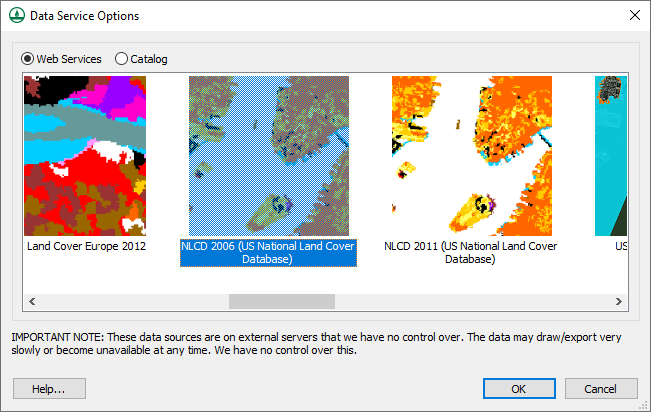
Downloading NLCD data can also be obtained by using the Get Data tool. To use this tool, your project must have a projection already defined. When you have a projection set, do the following:
- Using the Get Data tool, click-and-drag a box in the Graphics Window that covers the area where you want NLCD data
- Save a file with the NLCD data
- Enter the raster cell size for the data

You might also notice that a lot of other data sources are available through the Modeling Wizard and Get Data tool. Feel free to try downloading data from these sources for your WMS projects.


