We use cookies to make your experience better. To comply with the new e-Privacy directive, we need to ask for your consent to set the cookies. Learn more.

MODFLOW 6 Map from Coverage Enhancements That Improve Your Workflow
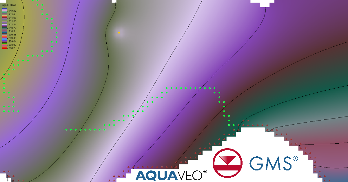
The Map from Coverage command is a cornerstone of building MODFLOW 6 models in the Groundwater Modeling System (GMS). It connects your conceptual model—built from GIS data, boreholes, and field inputs—to the numerical grid used for simulation. With GMS 10.9, several powerful enhancements make this process faster, more flexible, and more realistic than ever.
Why Map from Coverage Matters
In MODFLOW 6 workflows, mapping data from conceptual coverages is essential for assigning boundary conditions, stresses, and hydraulic properties. Unlike earlier versions of MODFLOW, GMS uses the Map from Coverage command to directly map selected datasets into specific packages, improving control and flexibility—especially when working with multiple simulations.
What’s New in GMS 10.9
1. Support for TINs (Triangulated Irregular Networks)
GMS 10.9 now allows TIN-based data to be mapped directly into MODFLOW 6 packages. This is a major improvement for representing complex terrain and geologic surfaces, where raster grids may oversimplify elevation changes.
-
Benefit: More accurate interpolation of elevations and boundary conditions
-
Use case: Drain elevations, river stages, and topography-driven models
2. Override Grid Layers Option
A new option allows users to override grid layer assignments during mapping. Previously, mapping depended heavily on predefined grid layers, which could limit flexibility.
-
Benefit: Greater control over how conceptual data is translated into model layers
-
Use case: Adjusting well or boundary placement without rebuilding the conceptual model
3. MAW Package Support (Multi-Aquifer Wells)
The Multi-Aquifer Well (MAW) package can now use Map from Coverage. This is particularly important for modeling partially penetrating wells or wells screened across multiple layers.
-
Benefit: More realistic well representation
-
Use case: Municipal wells, remediation systems, and complex pumping scenarios
4. Multiple Coverages Selection
GMS 10.9 allows users to select multiple coverages at once when mapping.
-
Benefit: Combine datasets from different sources in a single step
-
Important note: When multiple coverages overlap, values may be summed or overwritten depending on workflow, so order and intent matter.
Why These Enhancements Matter
These updates significantly improve efficiency and realism. By supporting TINs, flexible layer mapping, advanced well packages, and multi-coverage workflows, GMS 10.9 reduces manual steps and better reflects real-world hydrogeology.
Final Thoughts
The Map from Coverage enhancements in GMS 10.9 represent a meaningful upgrade for MODFLOW 6 users. Whether you’re refining terrain inputs, modeling complex wells, or integrating multiple datasets, these tools streamline your workflow and improve model accuracy. Get GMS today and make use of the Map from Coverage features in your MODLOW 6 projects.
May 12, 2026
|
View: 1044
|
Categories: GMS
|
By: <a class="mp-info" href="https://aquaveo.com/blog/author/admin">Aquaveo Staff</a>
About the Author

Performing a Silent Install of XMS (Passwords & Hardware Locks)
October 10, 2018
Converting a NET File to an INP File
May 9, 2018
Computing Basin Curve Numbers in 9 Easy Steps
May 16, 2023
Performing a Silent Install for ALS
October 27, 2021
Tips for Finding Information on the XMS Wiki
September 25, 2019
Tips for Using Wells with MODFLOW 6
July 14, 2026
Enhanced Arc Geometry and Vertex Tools
July 7, 2026
SRH-2D Inflow & Outflow Best Practices
June 30, 2026