We use cookies to make your experience better. To comply with the new e-Privacy directive, we need to ask for your consent to set the cookies. Learn more.


Model Post-Wildfire Watersheds Using the New GSSHA Wildfire Tools
Wildfires dramatically alter watershed behavior. Vegetation loss, reduced infiltration, and increased runoff can significantly elevate the risk of flooding, erosion, and debris flows following a burn. To help engineers and hydrologists better evaluate these changing conditions, the Watershed Modeling System (WMS) now includes several new tools that simplify post-wildfire watershed modeling using the Gridded Surface Subsurface Hydrologic Analysis (GSSHA) model.
These enhancements make it easier to incorporate real wildfire data into your simulations and improve the accuracy of post-fire hydrologic analyses.
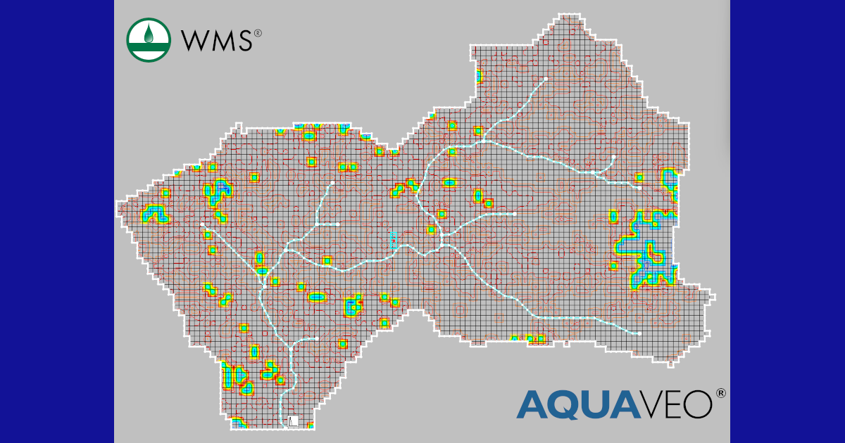
Import Burn Severity Data from MTBS
One of the most significant additions is the ability to download Monitoring Trends in Burn Severity (MTBS) burn area data directly within WMS. MTBS is a nationally recognized dataset that maps the location and severity of large wildfires across the United States.
Once downloaded, the burn severity information can be assigned as a Wildfire Index Map for a GSSHA model. This allows the model to account for changes in watershed characteristics caused by the fire, such as vegetation loss and altered soil properties, without requiring users to manually create burn severity layers.
Enable Wildfire Modeling in GSSHA
WMS also introduces a new Wildfire Modeling option within the GSSHA Job Control dialog. This setting enables GSSHA's wildfire-specific calculations, allowing the model to represent post-fire hydrologic conditions more realistically.
By activating this option, users can evaluate how wildfire impacts influence runoff generation, peak flows, and watershed response during subsequent storm events. These capabilities are especially valuable for emergency planning, infrastructure assessment, and post-fire mitigation studies.
Estimate Continuous Soil Moisture Using NDVI
Vegetation plays an important role in soil moisture conditions. Following a wildfire, vegetation loss changes evapotranspiration and water storage throughout the watershed.
To address this, WMS now supports defining continuous soil moisture from a Normalized Difference Vegetation Index (NDVI) raster. NDVI is a widely used remote sensing product that measures vegetation health using satellite imagery. By incorporating NDVI-derived information, GSSHA can initialize soil moisture conditions that better reflect current vegetation cover, leading to more realistic hydrologic simulations.
Putting it Together to Improve Post-Wildfire Risk Assessments
The combination of MTBS burn severity data, wildfire-specific GSSHA controls, and NDVI-based soil moisture initialization gives modelers powerful new tools for evaluating post-fire watersheds. Rather than relying on generalized assumptions, these enhancements allow simulations to incorporate observed burn conditions and vegetation recovery.
Whether you're assessing flood hazards after a recent wildfire, designing mitigation measures, or supporting watershed restoration efforts, these new WMS capabilities can help produce more informed and defensible modeling results.
Ready to get started? Download WMS today!
July 28, 2026
|
View: 1026
|
Categories: WMS
|
By: <a class="mp-info" href="https://aquaveo.com/blog/author/admin">Aquaveo Staff</a>
About the Author


Converting a NET File to an INP File
May 9, 2018
Performing a Silent Install of XMS (Passwords & Hardware Locks)
October 10, 2018
Computing Basin Curve Numbers in 9 Easy Steps
May 16, 2023
Performing a Silent Install for ALS
October 27, 2021
Tips for Finding Information on the XMS Wiki
September 25, 2019
Meet the New Display Panel
October 13, 2026
What’s New in the GMS 11.0 Beta
October 6, 2026
Simplify and Prepare Complex Geometry
September 29, 2026
Unlock SMS 14.0 Map Undo Features
September 22, 2026
Advanced Groundwater Modeling Techniques for 3D Data
September 15, 2026