We use cookies to make your experience better. To comply with the new e-Privacy directive, we need to ask for your consent to set the cookies. Learn more.
Quick Polygon Generation from Raster Data
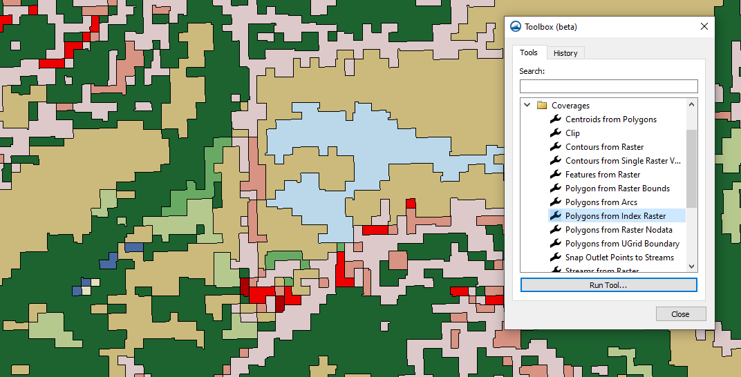
Do you have raster data that you like to use to quickly generate polygons for your Surface-water Modeling System (SMS) project? SMS 13.3 introduces the Polygons from Raster Bounds, Polygons from Index Raster, and Polygons from Raster Nodata tools Each of these tools make use of raster data to generate polygons in the Map module. This can help you quickly define model domains or areas of interest in your model.
All of these tools can be found under the Coverages section in the Toolbox. Two of these tools can help resolve issues where the raster data is missing data. These "no data" areas can occur when the raster is trimmed, or when some of the data is incomplete in the database of origin.This can create holes in the data that will interfere with a model.

Using the Polygon from Raster Bounds tool creates a polygon that includes only the active region within the raster. It is especially useful when a downloaded raster has been trimmed to the model area. It eliminates the "no data" areas on the edges that were created by the trimming. This cleans up the data for the model. It can also be used when running models, such as for flooding, when one area needs a different coverage than the original.
With Polygons from Raster Nodata tool, areas that are "no data" inside active regions can be separated from the active regions so the "no data" areas don’t interfere with the model. For example, modeling a river, but not the flood plain, means you may want to exclude the land including islands in the river. Using this tool, polygons can be placed around all active areas and defined for the surface water model while the NODATA areas can then be ignored.
The Polygons from Index Raster tool can come in very handy when elevations and materials match fairly well. It will only work if an index raster is being used. Using this tool, polygons can be created around elevation changes in such a way that it becomes much easier to assign materials to polygons.
Creating the polygons can be a time consuming task. These tools can automate part of the process and eliminate some of the problematic areas within your surface modeling area for you. You can use more than one of these tools, as your model requires.
Head over to SMS and try out these tools in the Toolbox today.


