We use cookies to make your experience better. To comply with the new e-Privacy directive, we need to ask for your consent to set the cookies. Learn more.

How to Determine Soil Texture Using NRCS Soil Data
Soil texture plays a critical role in watershed modeling. It influences infiltration rates, runoff generation, groundwater recharge, and erosion potential. Traditionally, determining soil texture required reviewing soil survey reports and manually interpreting soil properties. The Watershed Modeling System (WMS) simplifies this process by allowing users to leverage NRCS soil data to identify soil textures across a watershed quickly and efficiently.
Why Soil Texture Matters
Soil texture describes the relative proportions of sand, silt, and clay in a soil. These proportions affect how water moves through the ground and are commonly used when estimating infiltration parameters, hydrologic soil groups, and runoff characteristics. For watershed modelers, understanding soil texture is essential for producing realistic simulations and selecting appropriate model parameters. (agdatacommons.nal.usda.gov)
Obtaining NRCS Soil Data
WMS can utilize soil information derived from the USDA Natural Resources Conservation Service (NRCS). The primary source of this information is the NRCS Web Soil Survey, which provides access to detailed soil maps and attributes from the National Cooperative Soil Survey database. The Web Soil Survey allows users to download soil data, including soil series, hydrologic soil groups, and physical properties needed for hydrologic modeling. (Natural Resources Conservation Service)
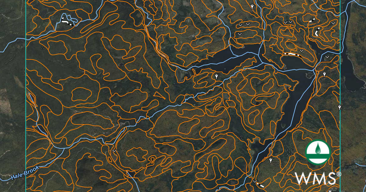
Using the Soil Texture Determination Tool in WMS
After importing NRCS soil data into WMS:
-
Load the soil coverage associated with your watershed.
-
Access the soil texture determination tools within the GIS workflow.
-
WMS reads the soil property information from the NRCS dataset.
-
The software classifies soils into standard USDA texture classes such as sand, loamy sand, sandy loam, loam, clay loam, silty clay, and clay.
-
The resulting texture map can be displayed, queried, and used in subsequent hydrologic analyses.
This automated process eliminates much of the manual interpretation that would otherwise be required when working directly with soil survey tables.
Benefits for Hydrologic Modeling
Using the WMS soil texture determination tool provides several advantages:
-
Faster watershed characterization.
-
Consistent interpretation of NRCS soil properties.
-
Improved estimation of infiltration and runoff parameters.
-
Better support for model calibration and sensitivity studies.
Because the soil information originates from NRCS soil surveys, users can quickly evaluate watershed-wide soil conditions without collecting extensive field measurements. However, site-specific investigations may still be necessary for detailed engineering design. The NRCS notes that soil survey data are intended to support planning and analysis and should be supplemented with onsite investigations when higher levels of accuracy are required. (Web Soil Survey)
Conclusion
The WMS soil texture determination tool streamlines one of the most important steps in watershed characterization. By leveraging NRCS soil datasets, modelers can rapidly classify soils, improve hydrologic parameter estimation, and build more reliable watershed models. Whether you are developing a flood study, stormwater analysis, or watershed management plan, automated soil texture determination can save time while improving consistency across your projects.
Make use of NRCS data in your WMS projects today!
June 16, 2026
|
View: 1117
|
Categories: WMS
|
By: <a class="mp-info" href="https://aquaveo.com/blog/author/admin">Aquaveo Staff</a>
About the Author

Performing a Silent Install of XMS (Passwords & Hardware Locks)
October 10, 2018
Converting a NET File to an INP File
May 9, 2018
Computing Basin Curve Numbers in 9 Easy Steps
May 16, 2023
Performing a Silent Install for ALS
October 27, 2021
Tips for Finding Information on the XMS Wiki
September 25, 2019
Tips for Using Wells with MODFLOW 6
July 14, 2026
Enhanced Arc Geometry and Vertex Tools
July 7, 2026
SRH-2D Inflow & Outflow Best Practices
June 30, 2026
Troubleshooting Projection and Coordinate System Issues
June 23, 2026