We use cookies to make your experience better. To comply with the new e-Privacy directive, we need to ask for your consent to set the cookies. Learn more.
How to Prioritize Interpolating Multiple Rasters
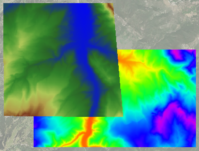
Do you have a project requiring multiple elevation rasters that are difficult to reconcile with each other? To manage the rasters, and get the best data for your project, our Groundwater Modeling System (GMS) has many tools in the Toolbox to help. One of these, the Interpolate Priority Rasters tool, gives you the ability to prioritize the elevation data from each raster.
When multiple rasters are interpolated to the geometry, multiple datasets will be created, one for each raster. A raster catalog can help consolidate this information but it doesn’t prioritize data. With the Interpolate Priority Rasters tool, you can specify exactly which raster takes precedence first, second, and so on. It will create one dataset that contains all the prioritized information. This ensures that the information most important to your model can be retained and used.

Rasters downloaded from separate sources, or from the same database but at differing times, can contain discrepancies in the data. When the rasters overlap, those differences can create problems with the model. If major discrepancies exist, some of the other tools in the Toolbox can help correct them before using the Interpolate Priority Rasters tool.
In GMS, the Interpolate Priority Raster tool can be used with both 2D and 3D UGrid geometries. All that is needed for this tool is a geometry selected, a dataset used to provide default values for interpolation, a method for interpolation, and the selected rasters placed in the order of priority. Once run, a new dataset is created with the integrated data. If the new dataset is meant to be the elevation of the target geometry, you will need to map it manually because it will not be done automatically, but you will have an interpolated raster that is consistent across the model.
Head on over to GMS and try the Interpolate Priority Rasters tool in your models.


