We use cookies to make your experience better. To comply with the new e-Privacy directive, we need to ask for your consent to set the cookies. Learn more.
Easily Snapping Outlet Points to Stream Arcs
When creating your Watershed Modeling System (WMS) project, did you find that your outlet point isn’t in the right place on the stream arc? Outlet points are placed at the points of confluence in a watershed. Designating an outlet point is necessary for delineating a watershed, but it must be placed correctly. The Snap Outlet Points to Streams tool, found in the Toolbox, can help place the outlet points in the correct locations.

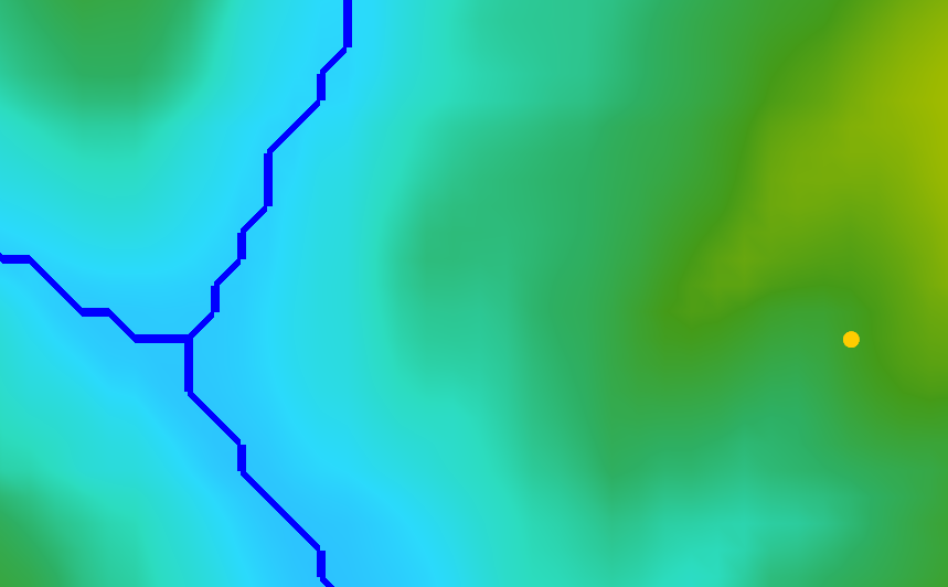
If an outlet point is near but not on a stream arc, WMS can automatically snap an outlet point to the stream, or the stream arc to the outlet point, within a very limited range, depending on which was created first. But if two stream arcs are close together, and the outlet point between them, the auto-snapping may place it on the wrong stream arc, thus making the watershed delineation incorrect. Or, the outlet point may be placed far enough away from the stream arcs that WMS can’t automatically snap it to the appropriate stream arc for watershed delineation. When an outlet point is placed incorrectly, it can cause problems for your model. Either the watershed delineation will fail, or the basins created could have incorrect boundaries. This is where the Snap Outlet Points to Streams tool can be useful.
The Snap Outlet Points to Streams tool will allow you to place outlet points away from the stream arcs but still snap them to a stream. It allows you to define how far away from the outlet point to look for a stream arc. While you still should be cautious about outlet point placement, it gives you a little more latitude in creation locations to ensure the correct delineation of the watershed.
To find the Snap Outlet Points to Streams tool, you will need to look in the Toolbox under the Coverages folder. When you open it, you will choose the input coverage containing the outlet points, and also, the input raster streams file. You will need to define the maximum distance in map units for the tool to search for the stream arcs to snap to. After entering a new coverage name for the output coverage to be created, you can run the tool.
Head on over to WMS and try the Snap Outlet Points to Streams tool today!


