We use cookies to make your experience better. To comply with the new e-Privacy directive, we need to ask for your consent to set the cookies. Learn more.
Converting Soil Data to an Index Map
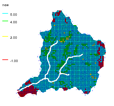
Do you need to add soil data to your GSSHA model in WMS? Soil data is often needed in a rainfall/runoff GSSHA model so that infiltration can be considered in the model. WMS makes this easy by allowing soil data to be converted to an index map.
In order to include soil data in your GSSHA model, there are few steps to follow.
First, you will need a soil data map coverage. Once this coverage has been created you can add soil data directly to the map coverage. Often, you may have soil data located on a shapefile or other source. The soil data on the shapefile needs to be mapped over to the soil data coverage before creating the index map.
Second, the index map will be included with a 2D grid for the GSSHA model in WMS. Make certain you have created your 2D grid and initiated your GSSHA model.
Finally, convert the soil data coverage to be an index map in your GSSHA project. This is done by doing the following:
- Use the GSSHA | Maps command.
- In the GSSHA Maps dialog, set the soil data coverage to be used.
- Click the Coverages to Index Map button.

Once you have converted your soil data to an index map, you can use it in your GSSHA model.
When converting soil data to an index map, we do have some tips to make it go smoother.
- When converting a shapefile to a soil data coverage, make certain that the soil data with the shapefile has been joined to the shapefile.
- After mapping a shapefile to a soil data coverage, make certain that the soil data mapped over.
- Check to see if soil covers the entire area of the 2D grid. A warning may appear if the soil data does not cover the area of the 2D grid.
Once your soil data have been successfully converted to an index map, it is ready to be used in your GSSHA model.
Try out using soil data with GSSHA in WMS today!


