We use cookies to make your experience better. To comply with the new e-Privacy directive, we need to ask for your consent to set the cookies. Learn more.

Using NetCDF Data with AHGW Pro
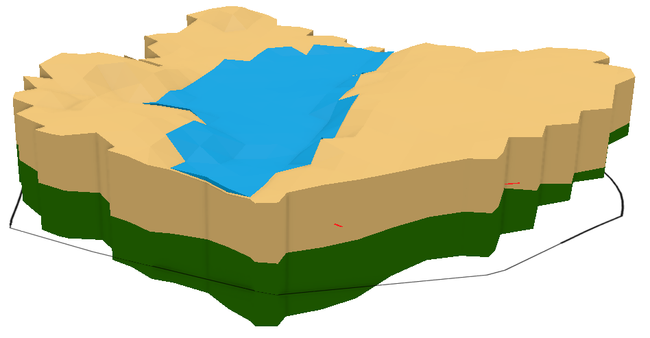
Have you needed to use netCDF files with Arc Hydro Groundwater Pro? NetCDF files are intended to provide standardization to multidimensional scientific data. These files can be imported and used in ArcGIS Pro and are compatible with Arc Hydro Groundwater Pro. However, they must first be converted using ArcGIS Pro geoprocessing tools.
ArcGIS Pro has a few tools specifically dedicated to manifesting netCDF data as a familiar data form in ArcGIS Pro. These data forms include feature layers, rasters, and tables. Once netCDF data has been converted, it can be used with any Arc Hydro Groundwater Pro tool that accepts the given data form.
The ArcGIS Pro tools for netCDF data are found in the Multidimension Tools Toolbox. There's a toolset devoted to netCDF data, but some of the other tools in the Multidimension Tools toolbox will also work with netCDF data.
The following is a suggested workflow for working with netCDF data and Arc Hydro Groundwater Pro:
- Use the appropriate tool from the Multidimension Tools toolbox to convert the netCDF data to the desired data form.
- If necessary, add it to the Arc Hydro Groundwater Pro geodatabase. This might be essential depending on what you hope to do with the data.
- Make any necessary adjustments or additions to the data to ensure compatibility with the Arc Hydro Groundwater Pro tool you hope to use.
- Use the feature layer, raster layer, and table view in the Arc Hydro Groundwater Pro tool of your choice.
A similar workflow exists for Arc Hydro Groundwater for ArcGIS Desktop:
- Load netCDF data into the map.
- Use the appropriate netCDF-related tool from the Multidimension toolbox.
- The output of that tool (e.g. a netCDF feature layer) can be used as input to any geoprocessing tool that accepts that kind of input.
- If desired, the temporary layer from the Make NetCDF Feature Layer tool can be saved to your computer's drive with the "Save To Layer File" or "Copy Features" tool.
It's possible that the netCDF data does not have the appropriate data for use with Arc Hydro Groundwater Pro. You might have to edit the data to ensure compatibility (e.g. adding HydroIDs). Furthermore, converting netCDF data to a feature layer or a raster does not mean you have all the data needed to run your Arc Hydro Groundwater Pro. Usually, the feature layer, raster layer, or table will just be one piece of running a tool effectively.
Try using netCDF data with Arc Hydro Groundwater Pro today!
February 28, 2023
|
View: 2927
|
Categories: AHGW
|
By: <a class="mp-info" href="https://aquaveo.com/blog/author/admin">Aquaveo Staff</a>
About the Author

Performing a Silent Install of XMS (Passwords & Hardware Locks)
October 10, 2018
Computing Basin Curve Numbers in 9 Easy Steps
May 16, 2023
Converting a NET File to an INP File
May 9, 2018
Performing a Silent Install for ALS
October 27, 2021
Tips for Finding Information on the XMS Wiki
September 25, 2019
Comparing Multiple Design Alternatives in One Project
April 7, 2026
Incorporating MODFLOW 6 Groundwater Energy (GWE)
March 31, 2026
Essential DEM Clean-Up for Watershed Delineation
March 24, 2026
Essential Boundary Condition Guide
March 17, 2026
How to Delineate a Well Capture Zone Using MODPATH
March 10, 2026