We use cookies to make your experience better. To comply with the new e-Privacy directive, we need to ask for your consent to set the cookies. Learn more.

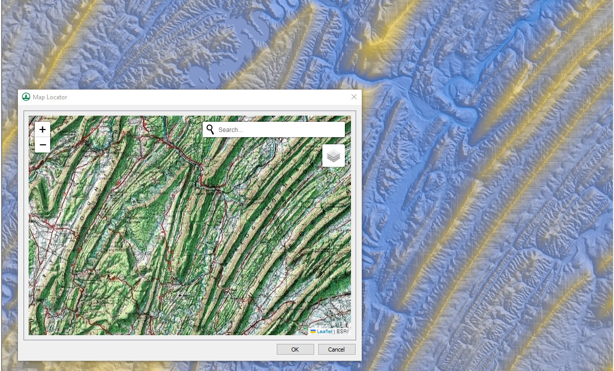
Tips for Using the Map Locator
One of the more useful tools for GIS modeling in the Watershed Modeling System (WMS) is the Map Locator tool. Map locator tools are typically a part of many GIS applications. In WMS and other Aquaveo software, the Map Locator is used to designate the project area and access GIS data making it a great tool to get your project started. Because the Map Locator can have such a strong impact on your project, here are some tips for working the Map Locator.
Using the Map Locator to Set Projections
If you are starting a project with data that lacks coordinate or projection information, the Map Locator can often help resolve this issue. By using the locator, you can pinpoint the project area in the real world, select relevant GIS data, and then apply that data to set a projection for your project. Once the projection is established, it can be applied to your original data. However, this method is not foolproof, and you should always carefully review any changes made to your dataset to ensure accuracy.
Previewing and Changing Map Types
The Map Locator provides a preview of the selected area, allowing you to adjust the map type, such as switching from an aerial view to a street view. Occasionally, when changing the preview type, it may appear as though features have shifted. This is a rare quirk of the preview function that occurs in specific locations. In almost all cases, the downloaded data retains accurate feature alignment. Nonetheless, it is always recommended to thoroughly review any downloaded data to confirm that all features are correctly positioned before proceeding with your project.
Understanding How the Map Locator Uses Project Projections
The Map Locator utilizes the projection settings defined in your project. If you are having trouble locating the desired area, setting the projection first can help. When you open the Map Locator, it will automatically display the area designated by your current projection. You can then pan and zoom within this area to refine the selection and download necessary data. One important caution is to avoid panning or zooming beyond the boundaries of the defined projection area. Doing so may require you to reset the projection, which can add extra steps to your workflow.
These are just some of the ways the Map Locator can enhance your experience in WMS. By taking advantage of this tool, you can streamline your workflow and improve the accuracy of your watershed modeling projects. Explore WMS today and see how the Map Locator can assist in your project development!
February 11, 2025
|
View: 3867
|
Categories: WMS
|
By: <a class="mp-info" href="https://aquaveo.com/blog/author/admin">Aquaveo Staff</a>
About the Author

Performing a Silent Install of XMS (Passwords & Hardware Locks)
October 10, 2018
Converting a NET File to an INP File
May 9, 2018
Computing Basin Curve Numbers in 9 Easy Steps
May 16, 2023
Performing a Silent Install for ALS
October 27, 2021
Tips for Finding Information on the XMS Wiki
September 25, 2019
How to Determine Soil Texture Using NRCS Soil Data
June 16, 2026
Diagnosing Costly Model Stability Issues
June 9, 2026
New Display Enhancements in GMS 10.9
June 2, 2026
SMS 13.5 Beta Out Now!
May 26, 2026
Tips for Modeling Bridge Scour
May 19, 2026