We use cookies to make your experience better. To comply with the new e-Privacy directive, we need to ask for your consent to set the cookies. Learn more.


Coasts & Oceans
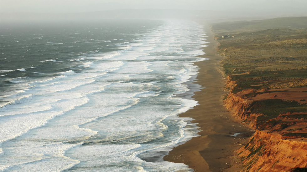
Protecting both environmental and human interests in coastal and ocean areas requires detailed planning and design. In order to best align these two interests, civil engineering professionals rely on SMS and a variety of numerical models to simulate change and design solutions.


Rivers, Streams, & Estuaries
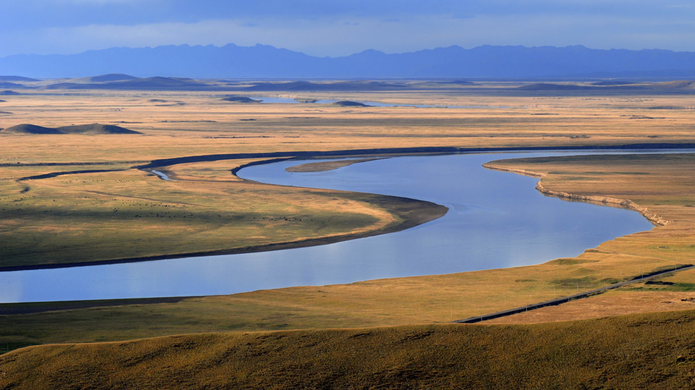
Understanding river hydrodynamics and the transport of sediment and contaminates helps engineers design safer structures and protect against potential urban and rural flood hazards.


Watersheds
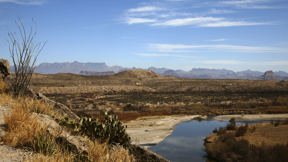
Hydrologic and Hydraulic analysis of watersheds, floodplains, and water distribution systems assist civil engineers in designing for storm events large and small. WMS has been developed to address these and many other water management concerns
all within one user-friendly application.
