GMS

GMS Training, United Arab Emirates
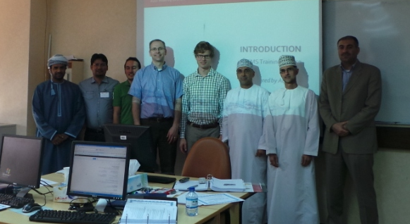
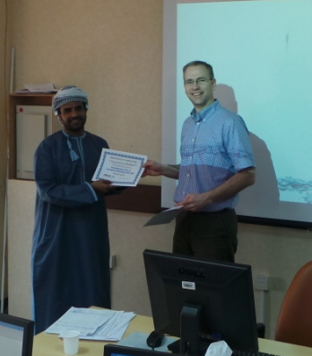
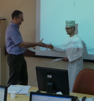
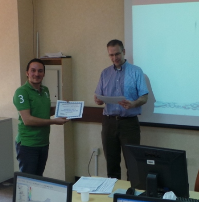
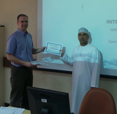
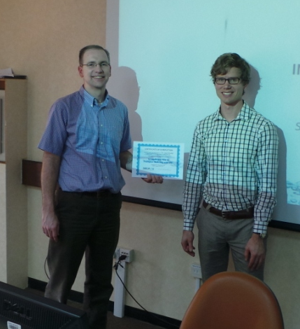
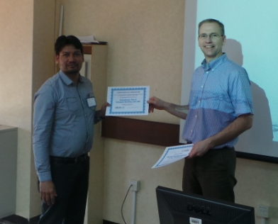
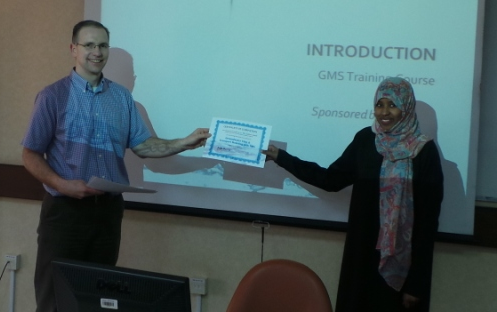
The GMS team recently completed a training course in Al Ain, United Arab Emirates. Aquaveo would like to thank Dr. Ahmad Alzoubi, Certification and Training Manager at United Arab Emirates University in Al Ain for helping to organize the class. The course ran from January 26 to 29, 2014. Course attendees came from as far away as Sweden to attend. The course was a great success. By the end of the week attendees could use the powerful conceptual modeling tools in GMS to build and calibrate complex MODFLOW models. As usual the attendees appreciated how easy it was to use GMS to create and edit groundwater models. Thanks to all those who attended and made for a great experience in UAE.
Blog tags: 

GMS Sprint January 2014

  • Fixed 6 bugs
  • Good progress on UGrid creation workflows
  • Interpolate to MODFLOW Layers for UGrids finished
  • Good progress on improved native MODFLOW text output
  • Model checker for MODFLOW-USG finished
  • UGrid generation fixed to avoid tears
  • UGrid module added to toolbar
  • Module toolbar default location moved to top
  • Pin/unpin functionality added to Project Explorer
  • Some speed optimizations added
  • GMS Training in UAE
Blog tags: 

GMS Sprint December 2013

  • Fixed 9 bugs
  • Added rasters to list in coverage Attributes dialog to get elevation for drains etc.
  • Progress on switch to Qt
  • Progress on improved MODFLOW native text
  • Finished Map -> MODFLOW for UGrids
  • Cell layers shown in table dialog for UGrids
  • MODFLOW-USG code now under tests
  • Display of UGrid cell, node, and scalar numbers done
  • Added colors and I/O to new plot axes options
  • Improved readability of model checker with colors
  • Added button to edit all multipliers and use last flags in array dialogs
Blog tags: 

Using Rasters with Map to MODFLOW

For some time GMS has included the capability to use TINs with the Map->MODFLOW command. The next version of GMS will also include the capability to use Rasters with the Map->MODFLOW command similar to how TINs can be used now. In the conceptual model, the user will associate the desired Raster with the Head/Elevation assigned to a point, node, arc, or polygon. When the Map->MODFLOW command is executed the Head/Elevation for the boundary condition is extracted from the Raster using the cell center where the boundary condition is applied. The figure below shows how/where the Raster can be assigned to a point/node/arc/polygon.

Map to MODFLOW Raster
Blog tags: 

Pages